Azerbaijan is situated on northern extremity of the subtropical zone, south-eastern Caucasus and north-western part of Iran plateau. Its climatic diversity is caused by the complicate geographical location and landscape, the proximity of the Caspian Sea, the effect of sun's radiation, air masses of different origin, etc.
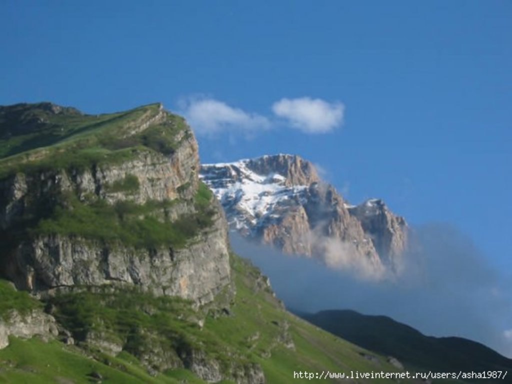
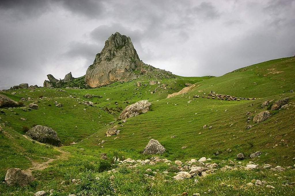
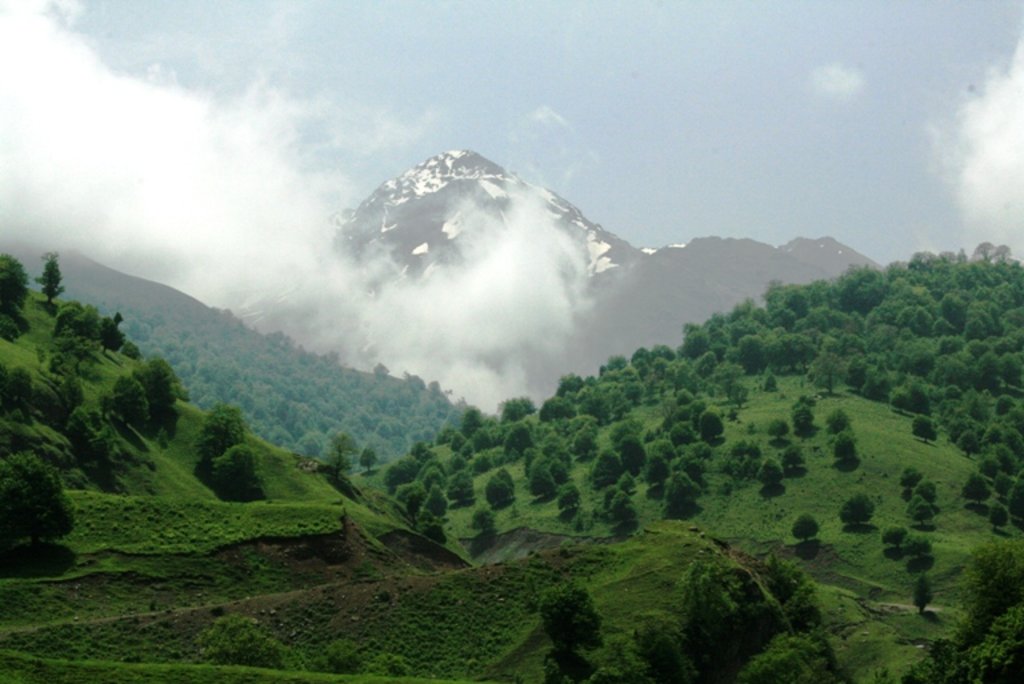
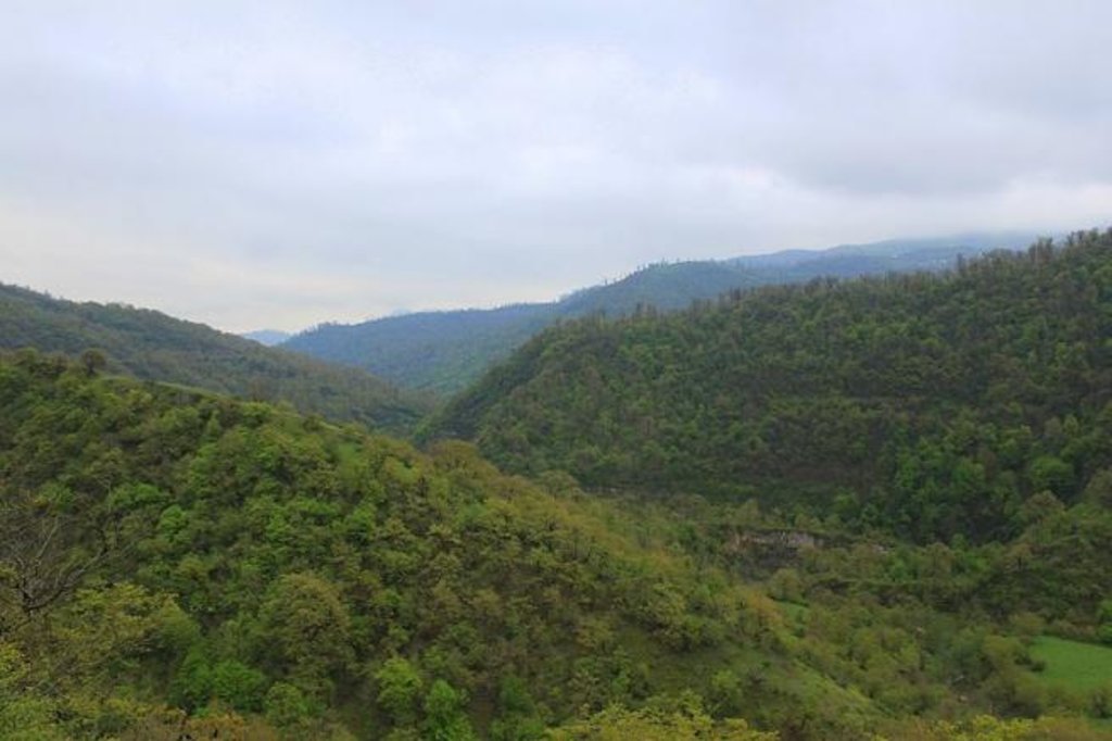
Landscape. As a predominantly mountainous country, Azerbaijan is surrounded by the Major Caucasus, Minor Caucasus, Talysh and North Iranian Mountains. The Kur lowland between the Major and Minor Caucasus, stretches to the Caspian Sea in the eastern part of the country. The Major Caucasus, situated in the north of the country and stretching from the north-west to the south-east, protects the country from direct influences of cold air masses, coming from the north. That leads to the formation of subtropical climate on most foothills and plains of the country. Other mountain chains, surrounding the country also have a great impact on air circulation. The complexity of a landscape causes nonuniform formation of climatic zones and creates vertical climate zones, etc.
Solar Radiation. Plains and foothills are characterized by high solar radiation rates. The sun shines for 2200-2400 hours a year on the Kur-Araz lowland , Apsheron peninsula and other plains and foothills, while the indicator totals 2600-2800 in the plains around Araz in the Nakhichevan Autonomous Republic. Due to increased cloudiness in the mountainous regions, only 1900-2200 hours per year are sunshining.
Temperature. The temperature regime and its distribution throughout Azerbaijan is regular and depends on the features of air masses, entering to the country, the regional landscape and proximity to the Caspian Sea. The Caspian Sea causes temperatures in the maritime areas (20 km away from the sea) to decline in the summer and raises it in the winter. At the same time it relatively softens the influence of hot and dry air masses coming from Central Asia. The average annual temperature totals 14-15 C in the Kur-Araz lowland, the coastal regions south to the Apsheron peninsula and in Lenkoran lowland. The temperature declines in the direction to mountains and amounts to 4-5 C at a height of 2000 meters and 1-2 C at 3000 meters height.
The temperature does not fall below zero even in the coldest month of the year (January) in plains and foothills. It even totals 3-4C on the Apsheron peninsula and areas and islands south of it. Temperature decreases with altitude and makes up -5-6 C -7C in Nakhichevan Autonomous Republic) at a height of 2000 meters above sea level, while at a height of 3000 meters it amounts to nearly -12-13C. In the hottest month of a year (July) the average temperature mainly equals 26-27C in the Kur-Araz lowland, while in other plains and foothills it does not fall below 24C. At a height of 2000 meters in the mountains the temperatures total 14.16C and at a height above 3000 meters they do not fall below 8-10 C.
The absolute temperature maximum (46C) and minimum (-32C) are registers on the plains around Araz in Nakhichevan Autonomous Republic, characterized by its continental climate.
The best time to visit
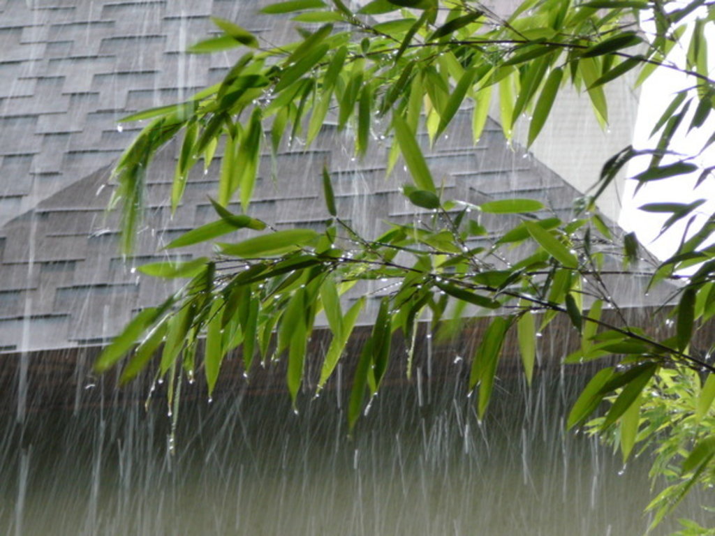
The best time to visit lowland Azerbaijan is April to June, when skies are clear and the land is green and full of flowers.
Autumn arrives suddenly in mid-September often bringing with it low clouds and drizzle that can obscure the views for two or three weeks. October is also lovely in Baku, with warm days and crisp nights, though much of the countryside is parched brown.
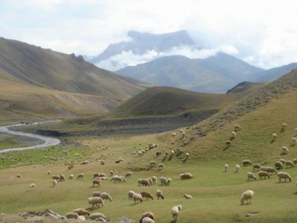
Summer is unpleasantly hot in low-lying areas (35-40 C), with Baku unpleasantly humid (34-37 C). Baku is famous for its winds which bluster a few times a month mitigating the unpleasantly humid, summer heat, disrupting Caspian shipping or adding a bite to the mild chill of winter. However, in the higher mountains July is the ideal trekking season, although you might still need a decent jacket at night, and good winter woollens if you stay overnight in Xinaliq, even in July. In August people try to escape unbearably sweaty Baku for the cool hills of Pirguli or Alti Agach, or flock to the local beaches of the Absheron peninsula.
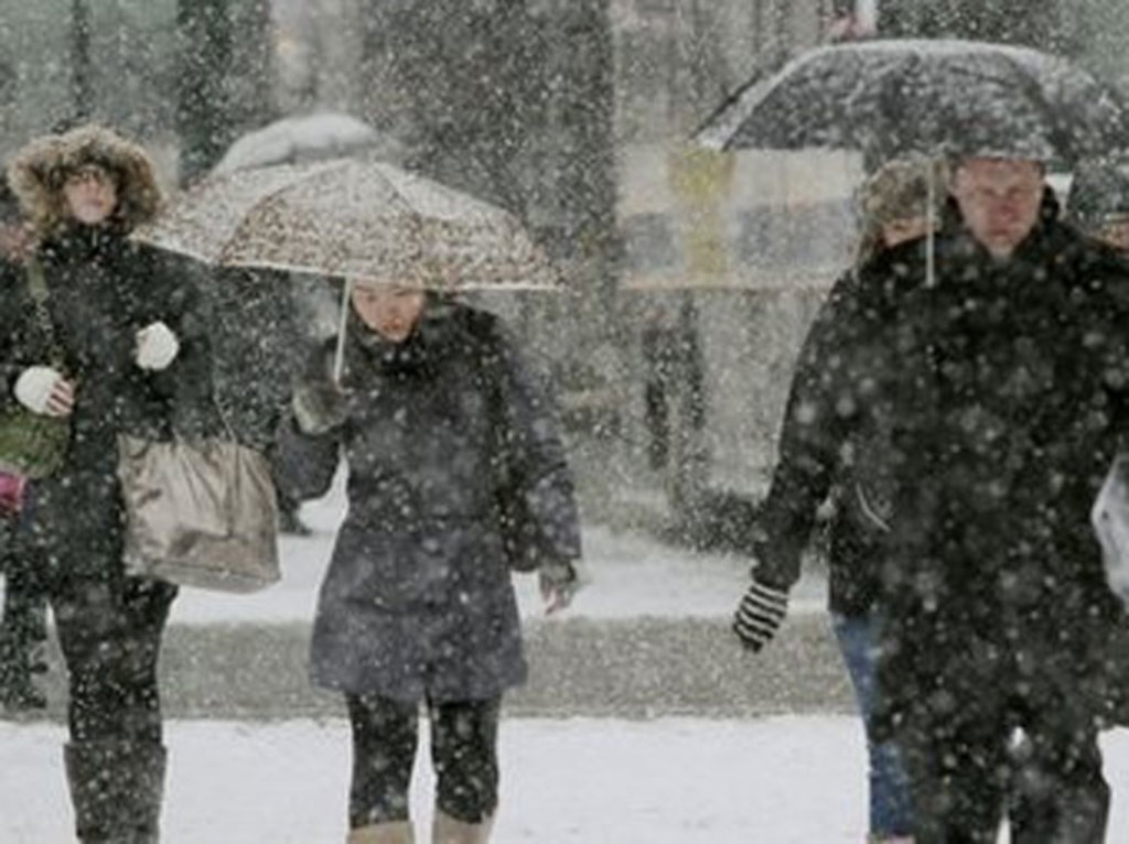
Winters are mild around the Caspian shores but can get strikingly cold inland. Nonetheless, only the more remote mountain villages get snowed in winter. You will need heavy sweaters in Sheki and the mercury can dip below -20 C in Xinalyq or Lahich, with snow ploughs struggling to keep the roads open.
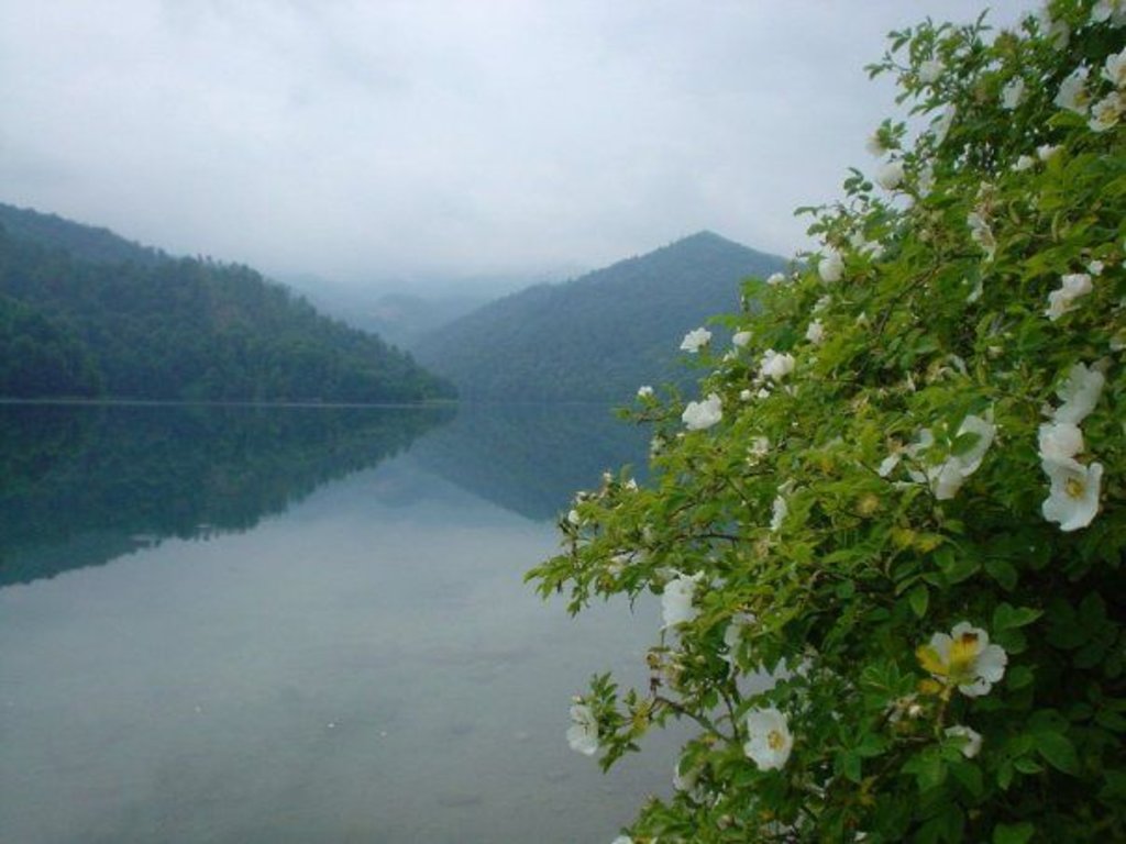
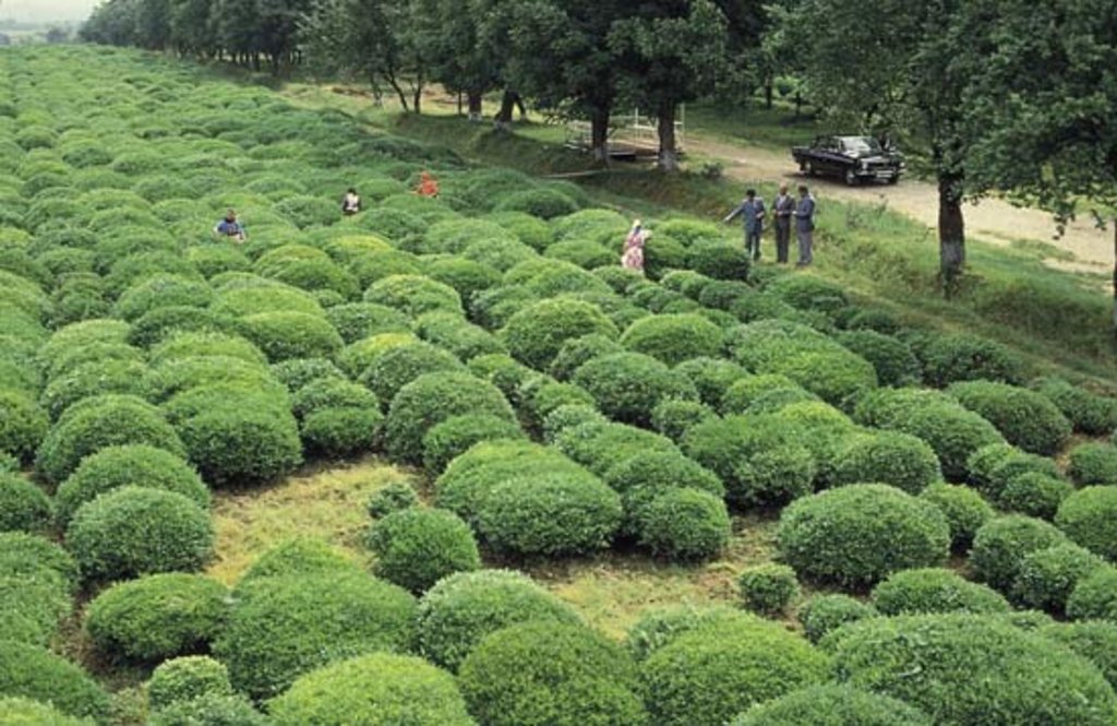
The flat centre of the country is typically dry with the irrigated farmland veering on semi desert. In contrast the southern forests are wet with the heaviest rains in October, November and March. The area is best for hiking in May. May is also ideal for visiting the west with fields full of flowers and a good chance of clear skies. Only in July does the snow clear sufficiently to allow trekking across the high passes around Xinaliq.
|
Important information on visa: If you're going to vizit Azerbaijan check the latest information of visa regime here >>>. Regularly updated data, helpful advice and expert guidance. If you have any questions, please do not hesitate to contact us. |