Azerbaijan is situated in the Caucasus region of Eurasia. Three physical features dominate Azerbaijan: the Caspian Sea, whose shoreline forms a natural boundary to the east; the Greater Caucasus mountain range to the north; and the extensive flatlands at the country's center. About the size of Portugal or the state of Maine, Azerbaijan has a total land area of approximately 86,600 square kilometers, less than 1% of the land area of the former Soviet Union. Of the three Transcaucasian states, Azerbaijan has the greatest land area. Special administrative subdivisions are the Nakhchivan Autonomous Republic, which is separated from the rest of Azerbaijan by a strip of Armenian territory, and the Nagorno-Karabakh Autonomous Region, entirely within Azerbaijan. (The status of Nagorno-Karabakh was under negotiation in 1994.) Located in the region of the southern Caucasus Mountains, Azerbaijan borders the Caspian Sea to the east, Georgia and Russia to the north, Iran to the south, and Armenia to the southwest and west. A small part of Nakhchivan also borders Turkey to the northwest. The capital of Azerbaijan is the ancient city of Baku, which has the largest and best harbor on the Caspian Sea and has long been the center of the republic's oil industry.
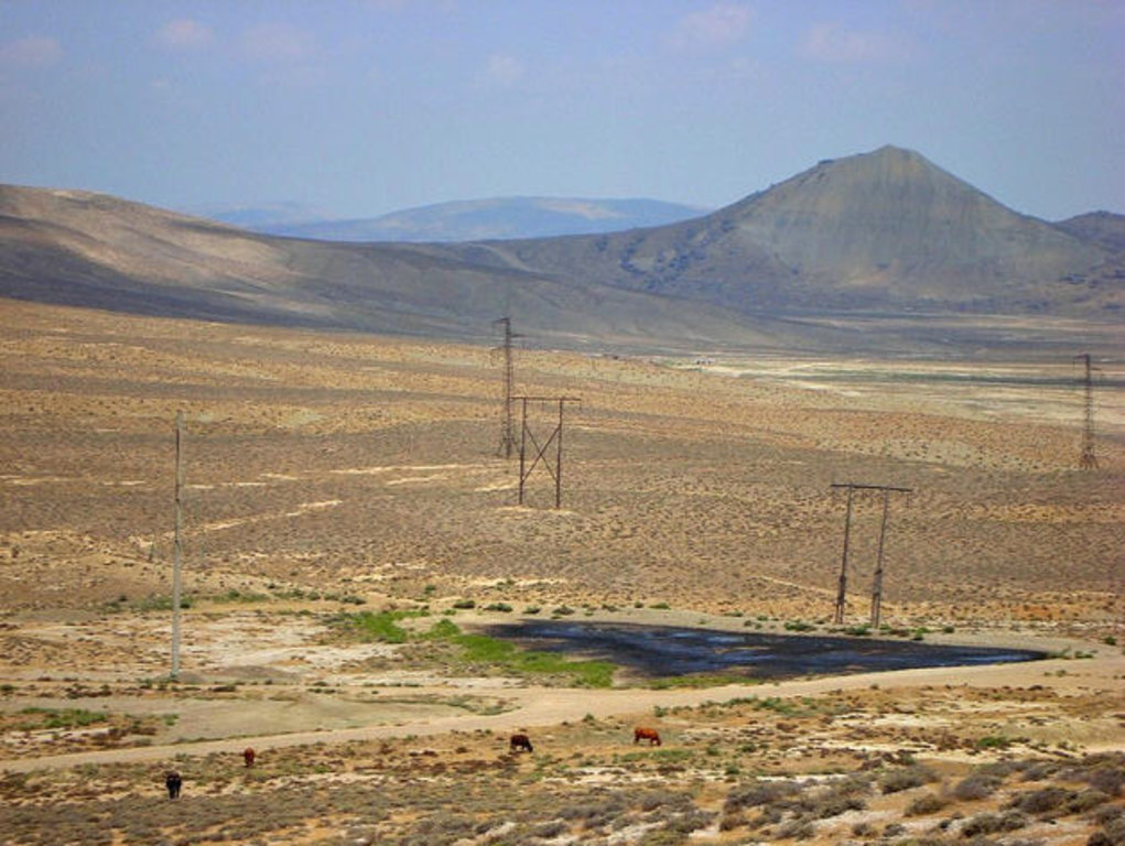
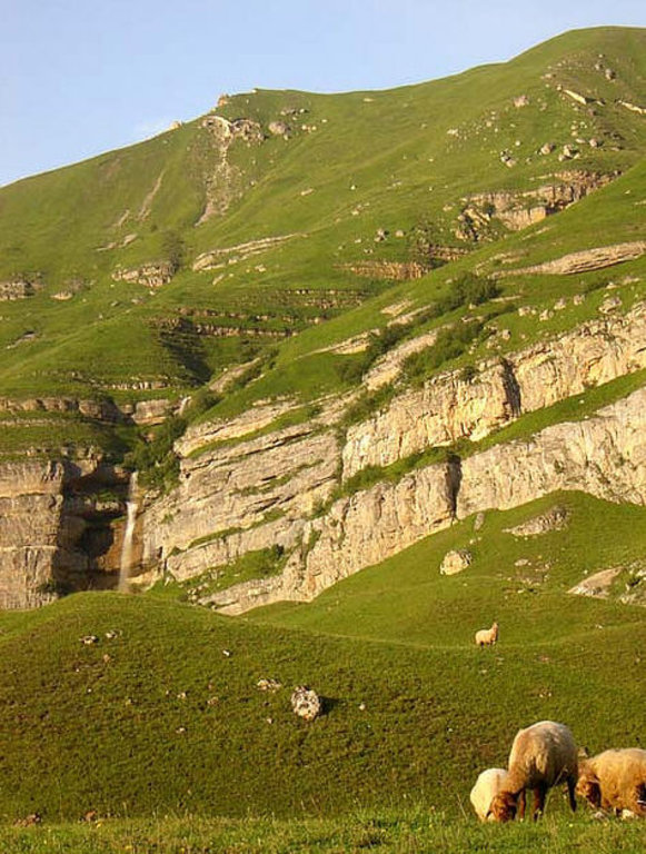
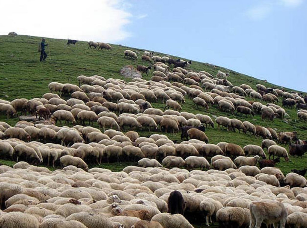
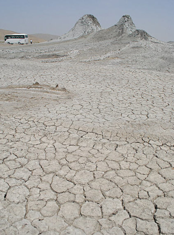
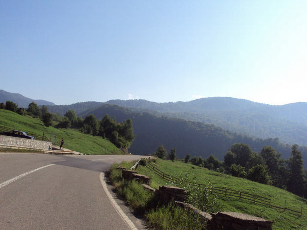
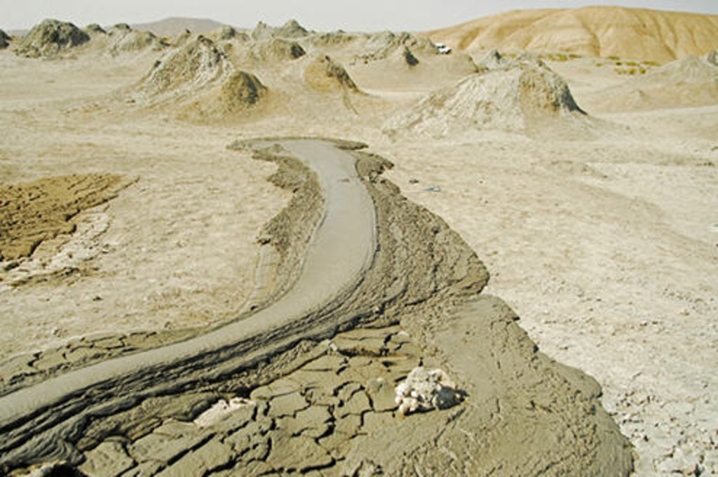
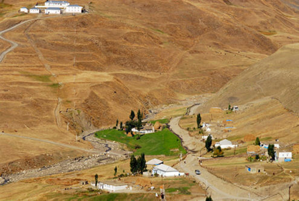
The elevation changes over a relatively short distance from lowlands to highlands; nearly half the country is considered mountainous. Notable physical features are the gently undulating hills of the subtropical southeastern coast, which are covered with tea plantations, orange groves, and lemon groves; numerous mud volcanoes and mineral springs in the ravines of Kobustan Mountain near Baku; and coastal terrain that lies as much as twenty-eight meters below sea level.
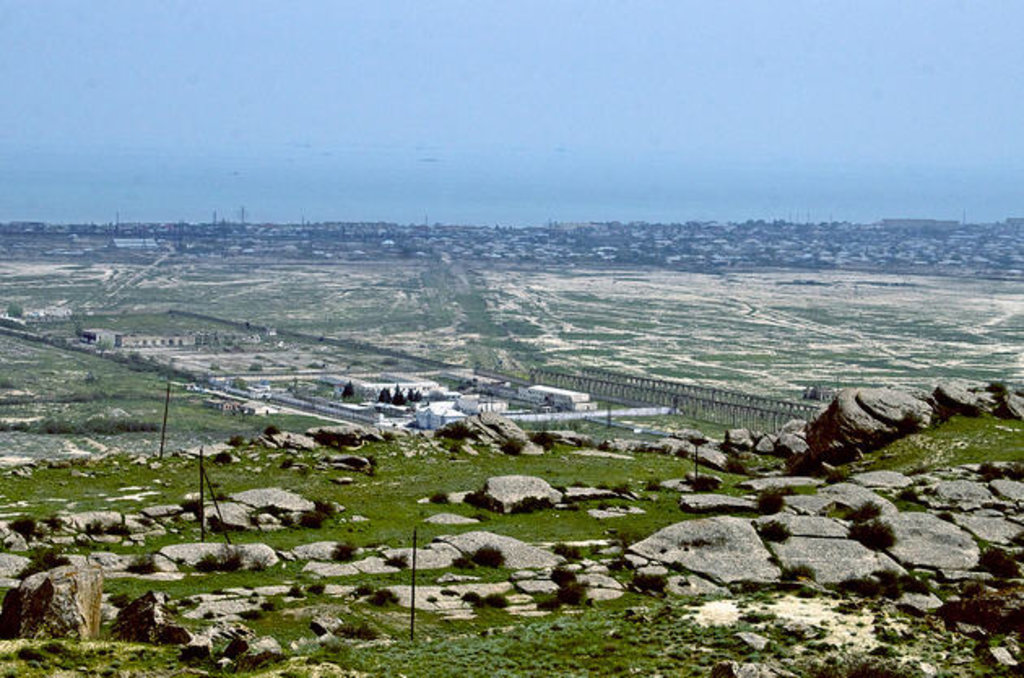
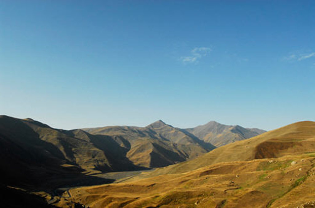
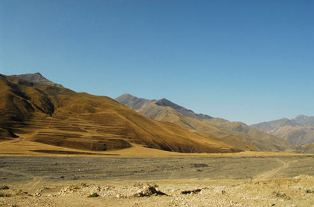
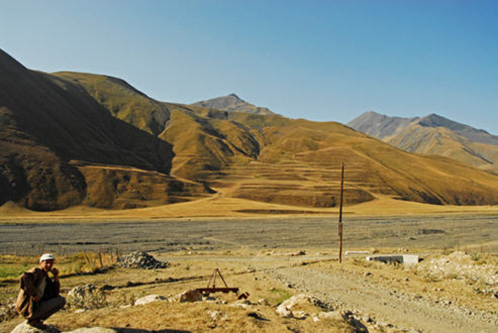
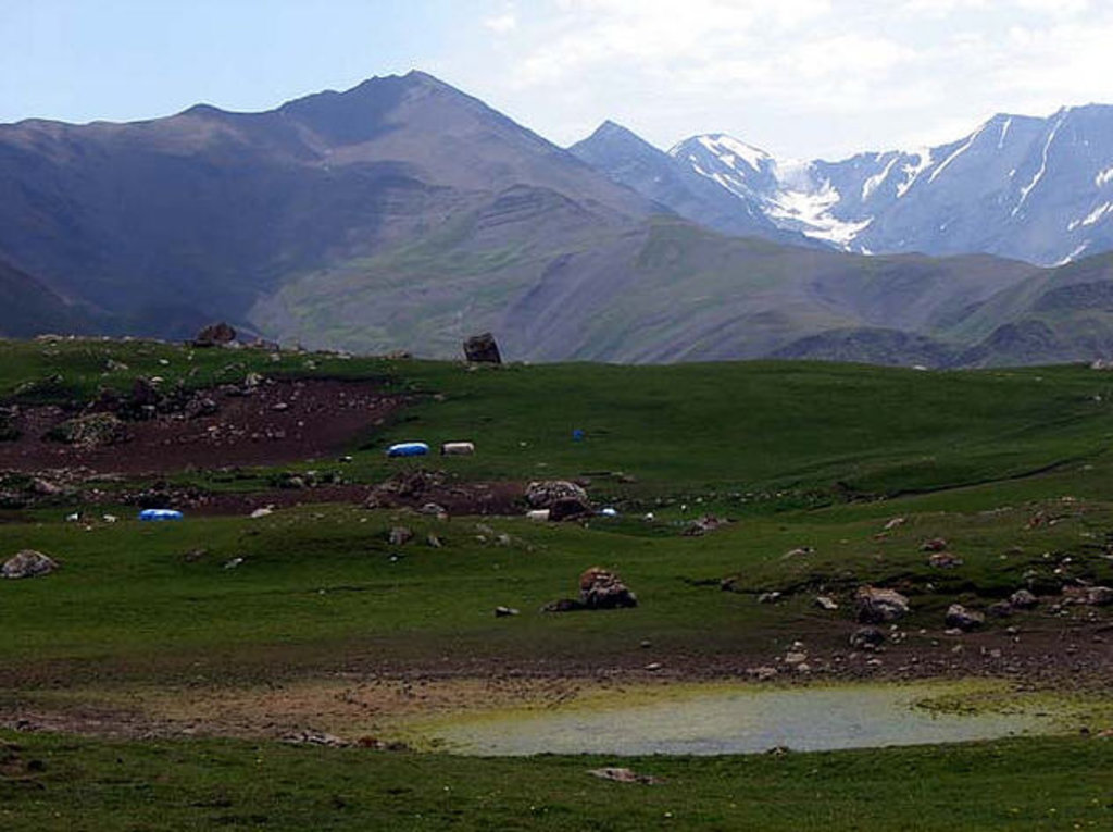
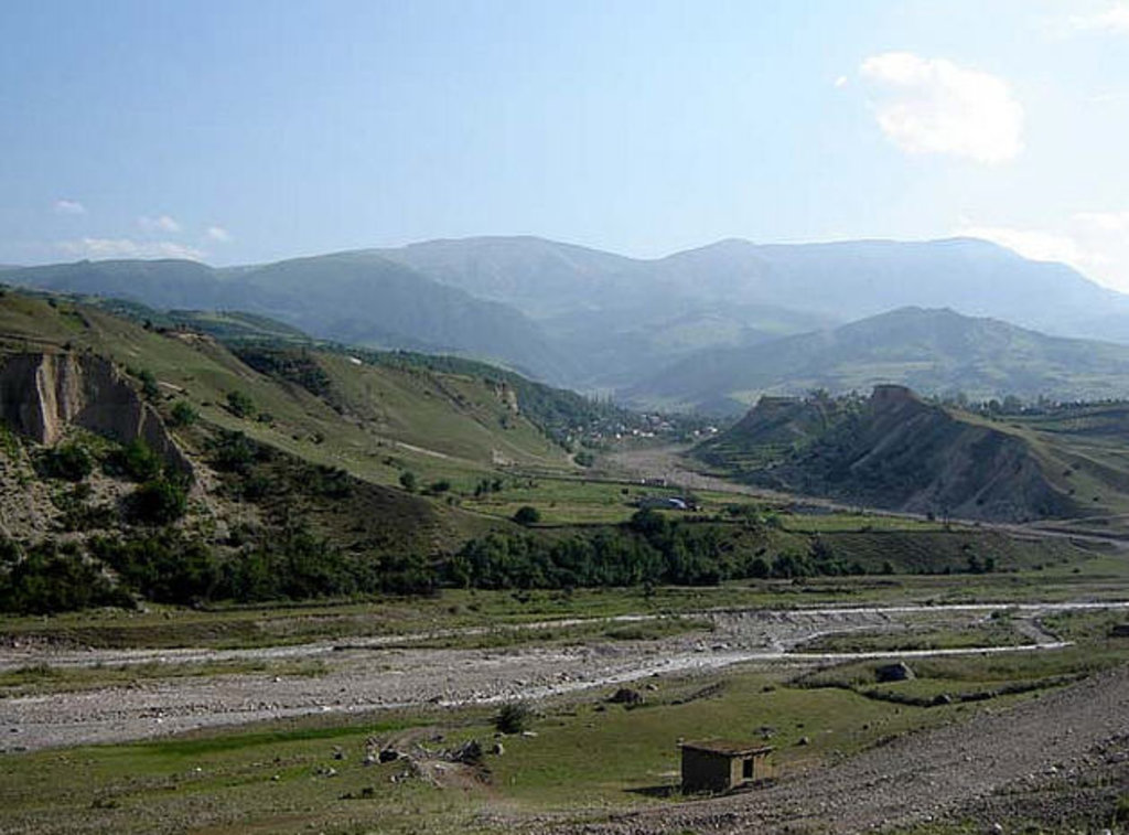
Except for its eastern Caspian shoreline and some areas bordering Georgia and Iran, Azerbaijan is ringed by mountains. To the northeast, bordering Russia's Dagestan Autonomous Republic, is the Greater Caucasus range; to the west, bordering Armenia, is the Lesser Caucasus range. To the extreme southeast, the Talysh Mountains form part of the border with Iran. The highest elevations occur in the Greater Caucasus, where Mount Bazar-dyuzi rises 4,485 meters above sea level. Eight large rivers flow down from the Caucasus ranges into the central Kura-Aras Lowlands, alluvial flatlands and low delta areas along the seacoast designated by the Azerbaijani name for the Mtkvari River(Kur) and its main tributary, the Aras. The Mtkvari, the longest river in the Caucasus region, forms the delta and drains into the Caspian a short distance downstream from the confluence with the Aras. The Mingechaur Reservoir, with an area of 605 square kilometers that makes it the largest body of water in Azerbaijan, was formed by damming the Kura in western Azerbaijan. The waters of the reservoir provide hydroelectric power and irrigation of the Kura-Aras plain. Most of the country's rivers are not navigable. About 15% of the land in Azerbaijan is arable.
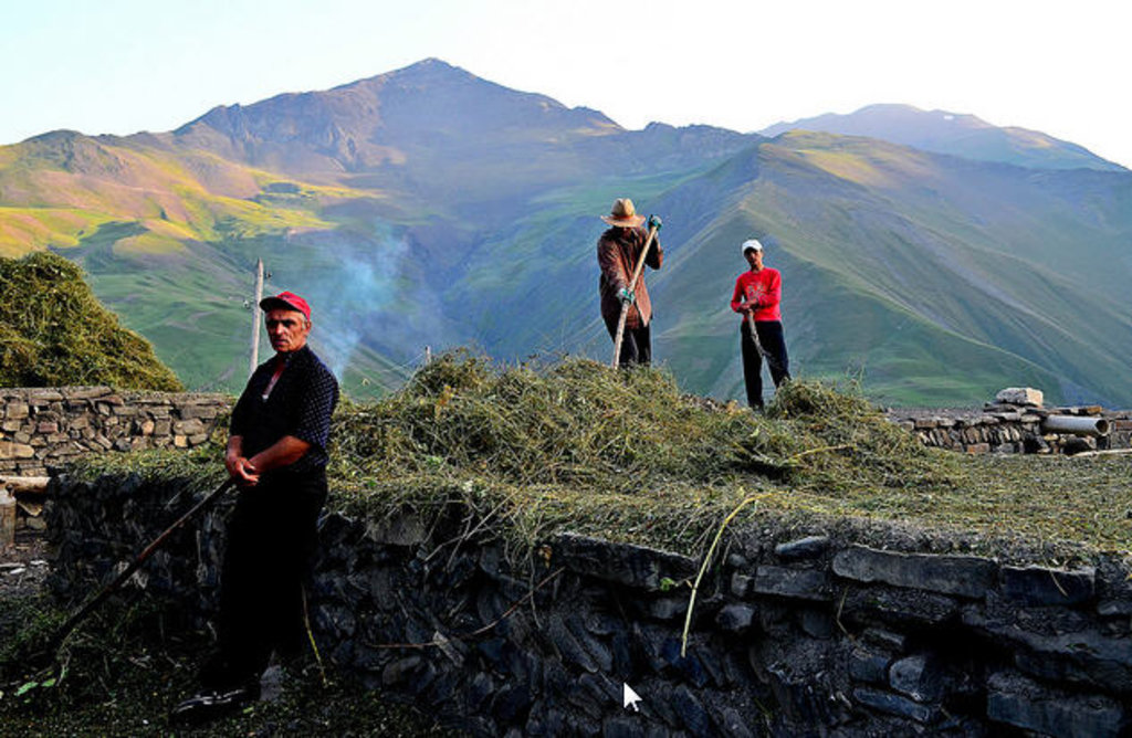
Azerbaijan is nearly surrounded by mountains. The Greater Caucasus range, with the country’s highest elevations, lies in the north along the border with Russia and run southeast to the Abseron Peninsula on the Caspian Sea. The country’s highest peak, Bazardyuze Dagi, rises to 4,485 m in this range near the Azerbaijan-Russia border. The Lesser Caucasus range, with elevations up to 3,500 m, lies to the west along the border with Armenia. The Talish Mountains form part of the border with Iran at the southeast tip of the country.
Gobustan Mountain, located near Baku, is carved by deep ravines, from which bubble mud volcanoes and mineral springs.
|
Important information on visa: If you're going to vizit Azerbaijan check the latest information of visa regime here >>>. Regularly updated data, helpful advice and expert guidance. If you have any questions, please do not hesitate to contact us. |